Tuesday, December 29, 2009

N.W.T. Trip – 2005 –back to Hay River

The problem with driving to Yellowknife – is you have to drive back from Yellowknife.  There is no nice ‘circle route’ or anything like that.  The morning we were to leave we woke up to rain…so hit the road bright and early…

1aYelKhwy

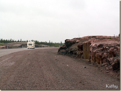
and here we are…heading out of town…with one final look at that pink ‘pre-Cambrian’ rock… it was such a dismal day that we just didn’t stop….

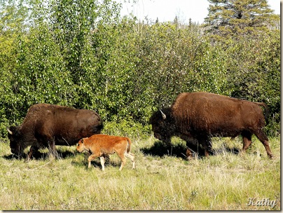
1c Wood Bison2

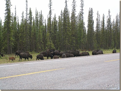
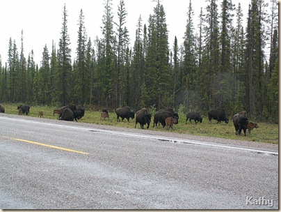
or at least only briefly when we had to, to allow herds of Bison to cross the highway…

1cWoodBison

and for a fuel fill up at the large truck stop type gas station at Fort Providence…

1dFerry

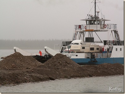
then it was back to the ferry…like the ferries we encountered this past summer on the Peel and Mackenzie Rivers, these too have no ‘ramp’ but just run up onto the shoreline….

1eFerryskids

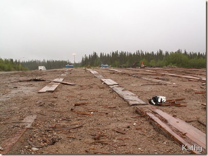
We made it across before Dave and Dianna, that is our trailer up there in the distance and these are the log skids that the ferry is docked on for the winter…..

1ewaiting

Dave and Dianna are over there, on the far shore, in the gloom….

Our goal now was to head east, first to Hay River and then south east,into Wood Buffalo National Park, and ultimately Fort Smith…

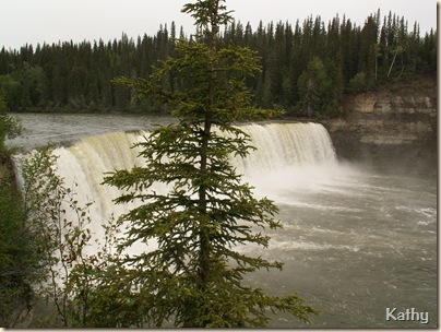
1fLdyEvFalls

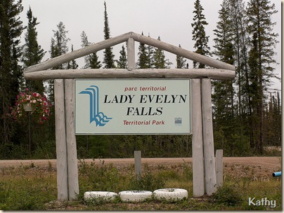
The first stop, after getting back onto the Mackenzie Highway, was at Lady Evelyn Falls Territorial Park…it was now lunchtime and past time to stretch our legs…

You’ve probably noticed a recurring theme of this trip – Waterfalls – and in fact the Deh Cho Connection is known as the ‘Waterfall Route’.

1fLdyEvFalls2

and these are Lady Evelyn Falls as seen from the viewpoint.  It was still dull and drizzly, but that didn’t deter us from taking the rather hazardous trail…

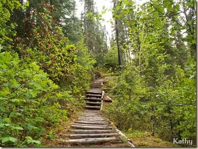
1fLdyEvFallstrail

this is only just one very small section….

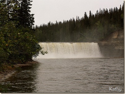
1fLdyEvFalls4

to where we had a ‘water level’ view of the falls…

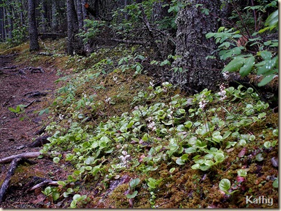
1gWintergr

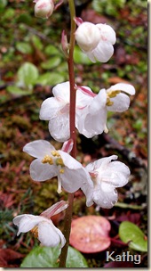
here is another section of the trail, with Wintergreen growing alongside…in fact the vegetation was very reminiscent of what we have back here on the ‘wet coast’

1gWintergr2

here is a closer look at one of the Wintergreen flower stalks..

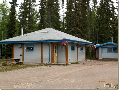
I’ve mentioned before the facilities found in N. W. T. Campgrounds….and there was a campground located at this spot…just had to take some pictures….

1gLdEvCpgd

Here are the washroom/shower facilities…complete with hanging baskets – real flower – not fake…

1gLdvCpgd3

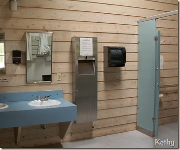
a peek inside..

1gLdEvCpgd2

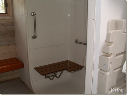
one of the shower stalls….

1gLdyEvCpgd

and back outside…the Day Use building for if the rain or the bugs get the better of you – actually I haven’t mentioned the bugs lately, they hadn’t really been an issue in Yellowknife, and besides, after a while you just sort of get used to them….

We could have stayed here but time was going by and we had more country to cover, so headed back onto the Mackenzie highway, turning off of it at Enterprise, onto ‘The Great Slave Route’

1hSlavelowlands

we were now traveling through the area known as the slave lowlands.

1hSlavelowlands4

that is Dave and Ernie out there, contemplating the ‘flatness’ of the scene…

1lHayRbeach

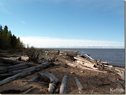
and finally, by the time we reached the Hay River Territorial Park and Campground, in the late afternoon, the skies had cleared and the sun was once more shining.  This is part of the beach at the campground and that, of course, is Great Slave Lake.

1lHayRiver

this view would be looking in the other direction…there was a much more developed beach and picnic area over there….

1kdryingclothes

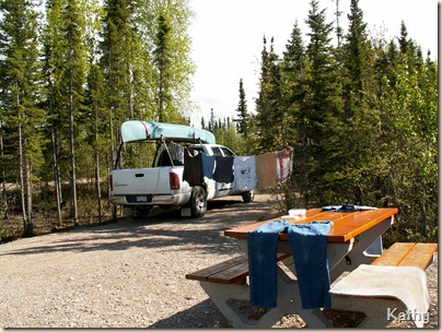
I can’t remember for sure, but I think we must have taken advantage of the amenities this fairly large ‘small town’ had to offer….such as a Laundromat…as I had taken this picture of our wash hung out to dry..

1kapril

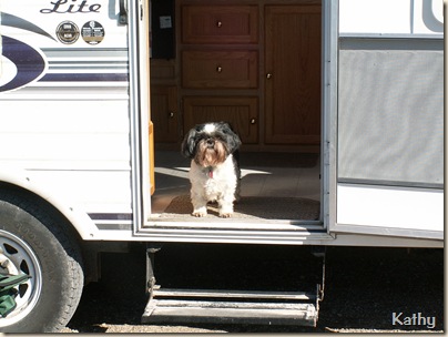
there is April….enjoying the sunshine…and obviously, no bugs…since we had the screen door wide open!

1jSandblasted

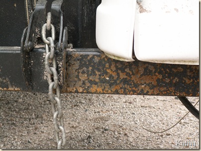
we now had time to sit back and relax for a bit and evaluate how the rigs were doing….apart from this ‘sandblasting’ all seemed fine.

2 Ten.Warb.

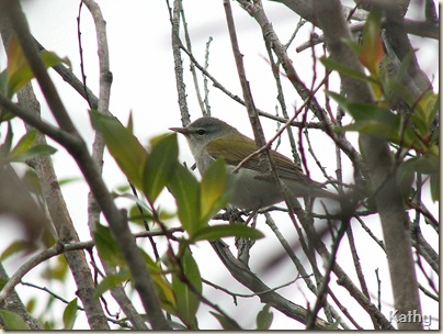
I had time to wander around and find another ‘Lifer’…this Tennessee Warbler….

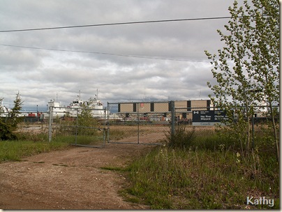
1lHayRShipyard

and Ernie and Dave were thrilled to discover the Hay River Shipyards, and in there, a couple of boats they had both actually worked on when they had worked in North Vancouver.

It may seem strange for there to be shipyards here….but actually the railway comes to Hay River from Alberta, and from here provisions are shipped, usually by barge, to places all along the Mackenzie River, such as Inuvik.  In fact, when we had been in Inuvik, we were told that their years supply of fuel comes up the river, by barge, from Hay River, as soon as the river is navigable so the importance of this little town is immediately obvious.
Monday, December 28, 2009

N. W. T. Trip – 2005 - Yellowknife

As you approach Yellowknife….you start to find yourself on rock, with lots of rock on either side of the road…if my geology lessons from school are remembered correctly, this is pre-Cambrian rock…and is, I think, part of the Canadian Shield.  Much of that rock is pink in color…and since the rock has been used to create the pavement…the road itself tends to be pink…

9qLongLkYelK

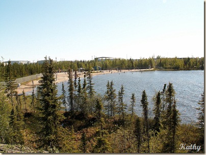
on the right hand side of the highway is a large lake, called ‘Long Lake’, with a public park and beach that looks like any public lakeside beach anywhere on the continent….

10aAirpt10

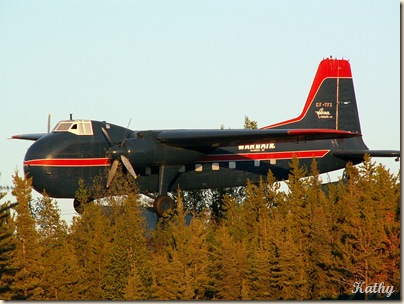
on the left hand side, is the airport.  This vintage plan is mounted at the airports entrance….if you’ve ever watched the show ‘Ice Pilots’ on the History network…this is the airport featured in that show.  I took the above picture from the RV park which is situated right across the street…

9qYelKnifeCampground

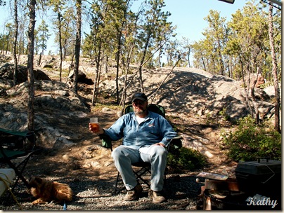
Here is Ernie enjoying a drink and sitting where he would be looking directly at the plane…this was a large RV park, very spread out because, as you can see, it is build upon this rock, so the sites were in little nooks and crannies which were few and far between.  We were put right down beside the highway, I think because we’d asked for powered sites…I won’t do that next time…

9qLongLkYelK2

there were far more scenic spots within the RV park….here you are looking back towards that public beach, and you can see the airport buildings in the background.

9qLongLkYelK3

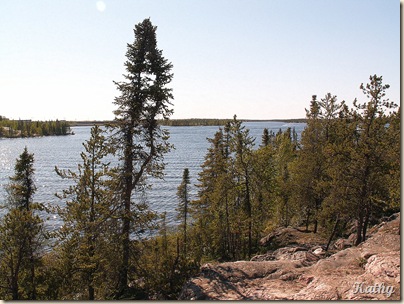
from the same spot, this is Long Lake, looking in the other direction…more like one would expect…I don’t know what I expected, but water skiers and personal watercraft certainly weren’t it!  You can see the color of the rock…

9qYelKnifeCamp

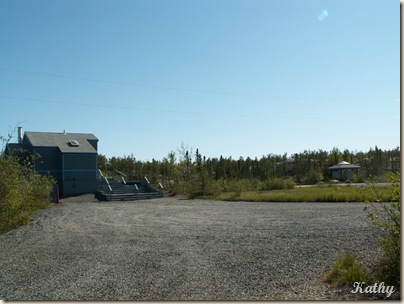
this was the shower facility in the park…with an information kiosk on the right….

9rPrecamrk

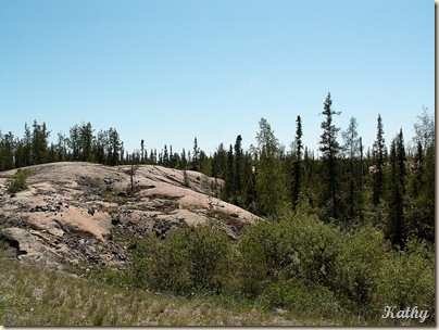
this shot just shows the general landscape of very old, worn rock with plants growing where they can take root.

10bYelKnife

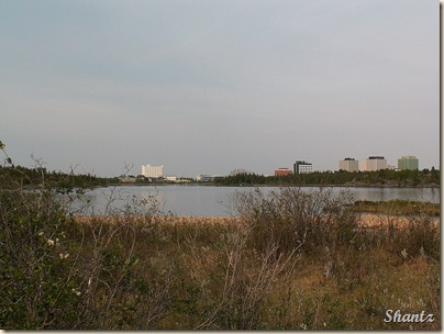
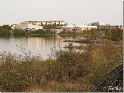
and there, in the distance is part of the skyline of the city of Yellowknife.  Anyone who has followed my blog knows we don’t like cities and spent as little time as possible in them….which is why I don’t seem to have any pictures of the city itself even though parts of it, especially the old part…was very interesting, reminding me of pictures I’ve seen from Newfoundland and the Maritimes as the houses were all built up on bare rock.

10bYelKnife2

here is another view of another part of the city, but not the downtown core itself.  There were lots of little lakes, all with walking paths…in fact it was obvious that the people of Yellowknife make the most of their short summer…you’ve heard the old adage ‘make hay while the sunshine’, well, I think, up there, it is ‘play while the sunshine's’ because in the evenings the place came alive with people out and about pretty much all night long – another reason for not staying close to the highway in the RV Park!

HornGrYelKn21

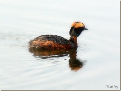
There was a very nice Visitor’s center with a small lake adjacent to it where I was surprised to see these Eared Grebe…the closest I’ve ever been able to get to one.  I seem to remember we drove into down the first evening to take advantage of one of the big grocery stores…there was pretty much every store you could hope for…including Wal-Mart…

Next morning, Dave and Dianna headed back into the city to explore (they like cities), and we headed further east along what is called the ‘Ingraham Trail’, until it just ended.  Apparently, a number of years ago there were plans to extend the road down into Saskatchewan,  making a circle route…but those plans, or at least the money for them, fell through and so the road simply ends.
10cCanoeing

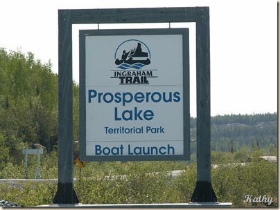
There are a number of Territorial Parks along the Ingraham Trail, including several campgrounds…something to keep in mind for those of us ‘non city’ people.  We decided to throw the canoe in at this particular lake…
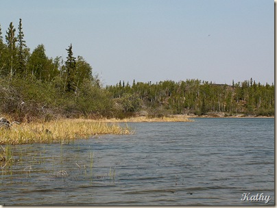
10dProsLk

this is just one small corner of this very large lake….we stuck to the shallows as this was a rather daunting lake, and besides, the shallows are where you see the birds…but in this case it also gave us heart failure on more than one occasion as those Northern Pike, which are huge fish, also like to lay in the shallows, and when they are disturbed they suddenly splash and it is like a crocodile coming out of the water…

10eLesYellegs

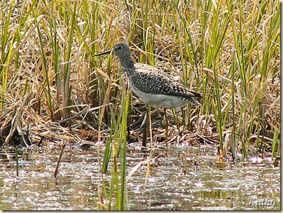
We did see these Yellowlegs Sandpiper…Lesser’s I think..

10gSptSandp

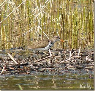
and, of course, Spotted Sandpipers….I swear, is there any body of water where Spotted Sandpipers aren’t found!

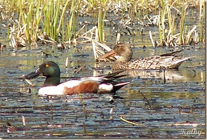
10hNorSh

and of course some ducks…including these Northern Shovelers….

and so brings to an end the pictures copied from the first saved CD of this trip. 

Sunday, December 27, 2009

N.W.T. Trip – 2005 – Enroute to Yellowknife

From Fort Providence, it is approx. 350 km to Yellowknife.  The highway, which is paved, is called the Frontier Trail (we’re back to ‘trails’).  Right at the start is a sign warning you to use extreme caution because of the potential for Buffalo to be on the road.

9kBison

and it didn’t take long to find them!  The vegetation is kept well back from the highway, on both sides, which gives a grazing area and room for the Buffalo to roam..

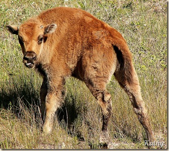
9kBabyBisonThat is a pretty young Buffalo calf, one of many….

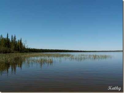
9lChan lk

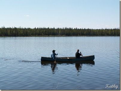
 about a third of the way along the ‘trail’ we reached this day use area at Chan Lake.  It was a beautiful day and we’d made good time, so decided to rest for a while and threw the canoe in the water…

9lChanlk2

First Ernie and Dave tried their hand at some fishing…with not much success….then Ernie and I headed out, across the lake, just to see what we could see…

9mSndhillCr

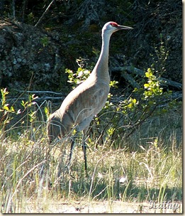
there, in the distance…were a pair of Sandhill Cranes!

9msanhilcr2

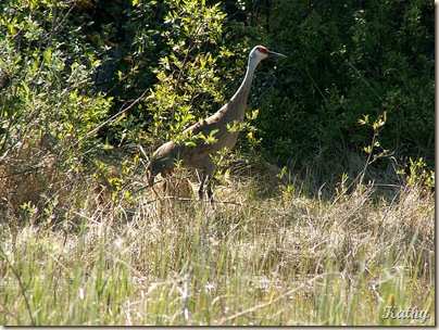
We crept as close as we dared, without upsetting them too much….something I am always very mindful of not doing…besides these are BIG birds…I wouldn’t want one coming after me!


9msanhilcrwb

If you look very carefully, towards the bottom on the left hand side…you will see a fledgling….I have no idea what the correct term is for a baby crane…

I do know that after spotting this baby and snapping one quick photo, we veered away and headed back over to the day use area.

9nflax

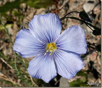
Here is a close up of a Blue Flax which is a wild flower found in a lot of places…including this far north.

Another hundred kilometres or so and we reached another large day use area at North Arm Territorial Park

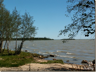
9oNarmGrtSlLk

we are now back on the shores of Great Slave Lake..looking eastward in the direction of Yellowknife, another hundred kilometres away.

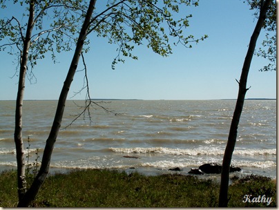
9oNarmGrtSlLk2

this view was looking sort of south west, pretty much in the direction we had come from.

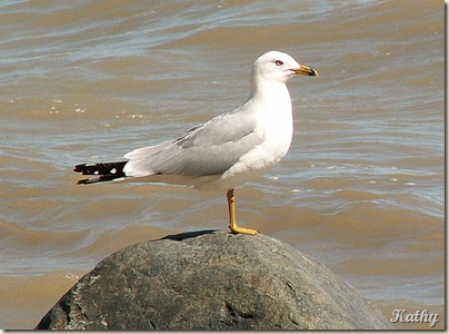
9pRingBillGull

there were a few of these Ring-billed Gulls here, but what thrilled me the most were these tiny little…

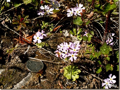
9oUnkownfl

Arctic Primrose!  That is a dime there for size comparison.  I’ve since seen them in Northern B.C. and the Yukon….as any of you who have followed our Yukon Trip adventures will now…but this was the first time I’d ever seen them.  They were growing right at the edge of the lake where the bank was eroding from the waves, and the plants were getting constantly splashed from the wave action.

Back on the road, as the day wore on…and then got longer as the last 50 kilometres or so of the road were under re-construction and travel was extremely slow and the road extremely rough….it took so long that this was the only time on the entire trip that we had to pull out our reserve supply of gasoline…we might have made it…but we would have been running on fumes!