Friday, January 29, 2010

More photos of Kentucky Allyene P.P.

Yesterday’s photos concentrated more on Kentucky Lake, today we’ll concentrate on Allyene Lake.

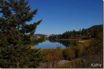
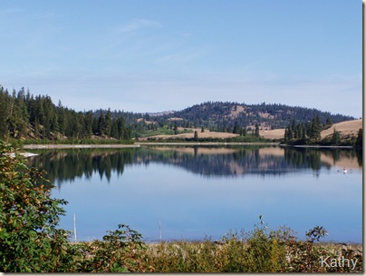
Sept.29'06Allyene

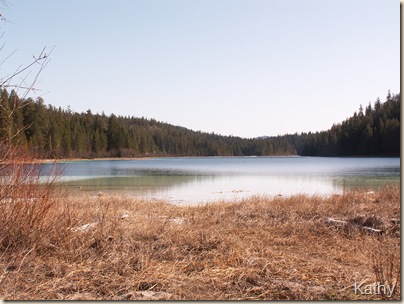
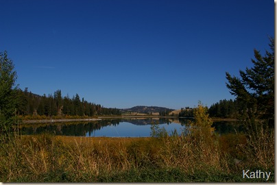
This, and a few of the following pictures were taken on September 29, 2006 from where we were camped at Allyene Lake….(see the difference a DSLR camera makes!)

Sept29'06-3

It is possible to walk right around this lake although it gets a bit tricky down at the far end…the walk along the west side of the lake is actually a road, so very easy walking…

Sept29'06-2

The campsites in this area are accessible year round although….

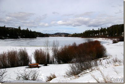
Test shots 027

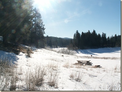
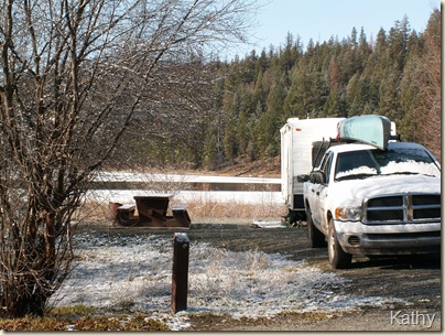
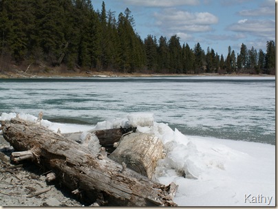
you have to keep in mind what sort of winter it has been and that this is at a fairly high elevation.  These pictures show the campground on March 22 of last year….a year when the whole province had a ‘real’ winter with lots of snow and sub zero temperatures.

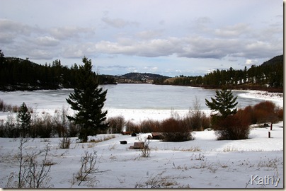
Test shots 026

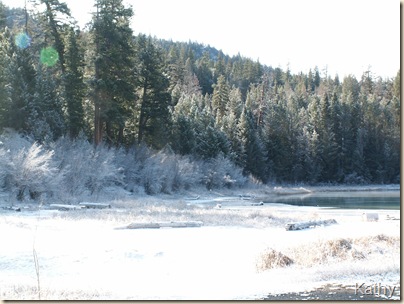
More of the campground in March of last year, the campsites in this area are in various levels, some out in the open and some tucked away in private spots.

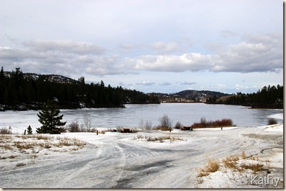
Test shots 025

That is what the road looked like that day….just a tad icy!

Test shots 135

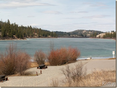
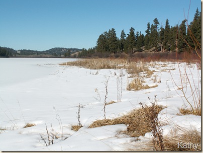
April 17, 2006….shows a couple of the campsites on the lower level, plus the boat launch area….note the lake was still frozen…

Balsam Root #3

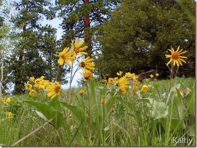
May 24th, 2004 The Balsam Root were in flower on the hillside on the east side of Allyene Lake.  You will find a lot of wildflowers in this area in May, especially at the far end of the lake where the group campground now sits, and above the eastern shore where the habitat is open grassland.

Kentucky Lake  '03 #3

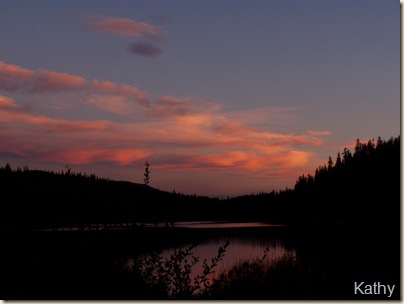
Sunset at Kentucky Lake, September 5, 2003.

Thursday, January 28, 2010

Kentucky Allyene Provincial Park

In the last few posts I’ve made reference to Kentucky Allyene Provincial Park, so thought I’d go back into my pictures and post those I have of this lovely little provincial park.

The most straightforward way to get to the park is off of the Coquilla Connector (Highway 97C), turn south onto the old Princeton highway (5A), the turn off to the park is 11 km south of Aspen Grove.

The following pictures won’t be in any particular order although I may try to make them make a bit of sense…

Allyene Lake 02-27-05 2

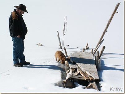
This picture, taken on Feb. 27, 2005 remains as one of my all time favourite pictures…that is Ernie and our nosy little Brussels Griffon, ‘Willie’ checking out this bit of raft on a frozen Allyene Lake.

Allyene Lake 02-27-05

This picture, taken the same day shows the frozen lake, although there is no snow in the surrounding countryside.  It is too bad that on our ‘Spur of the moment’ drive last Sunday we didn’t pop over this way to see what it looks like currently. 

Allyene Lake #5 lt.sum

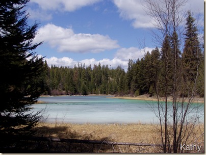
This is the earliest digital image I have of Allyene Lake.  This photo was taken on September 1st, 2003.  Although the west shore is quite forested, the remainder of the shoreline is open grasslands.

Allyene Lake Oct.2

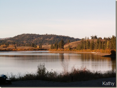
This picture was taken on October 2, 2004.  It and the one above are both taken from the main camping area on Allyene Lake.

AllyeneLkFeb9'06-3

and to give to proof to what I’ve said, that we often take drives up into this part of the country in the middle of winter…this was taken on February 9, 2006 and shows one of the campsites in the intermediary area between Allyene and Kentucky Lakes.  There are a couple of ‘pot hole’ lakes here, 1 of them is the snow covered area on the right of the photo.

KenAllyene3

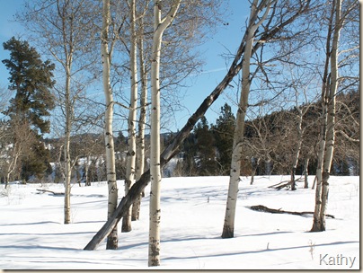
on that same visit I had taken this pictures of the aspen trees that line the access road to the park.  In spring this area is always alive with birds, however, I noticed on our last visit that there are now signs up saying this is private property and to stay on the road……

KenLkAp22'06

One of the best visits we ever had was in Easter of 2006.  We took a week and initially went to Juniper Beach Provincial Park, then Tunkwa, and eventually to Kentucky Allyene where we, being virtually the only people there, had one of the spots right on the shore of Kentucky Lake that was still partially frozen.  The date was April 20th…unfortunately you can’t do that anymore, either, as the gate to Kentucky Lake’s campground doesn’t open until May 15th – one of my pet peeves – why???  They should be open all the time! We ‘retired’ and ‘semi-retired’ people with our RV’s can get by without water and pit toilets being available….just let us park!  We’ve been paying taxes long enough.

MagicMorning3

This was our campsite that visit and one morning we got up to sheer magic…..  There had been a light dusting of snow over night…

MagicMorning

as the sun rose everything sparkled ….

MagicMorning2

with the rising of the sun the snow quickly evaporated….

KentuckyLk2

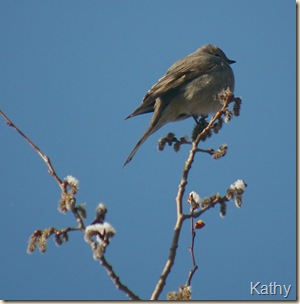
but not before I managed to get out and shoot a few pictures like this one of a Townsend’s Solitaire…

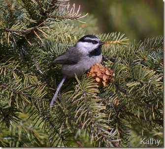
Mtnchwconeand this, which is, to date, my best picture of a Mountain Chickadee, although the snow had disappeared in this sunny spot.

GE'sKenLkAp'06-2

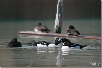
There were also a number of Barrow’s Goldeneye on the lake that trip.

IceKentucky2

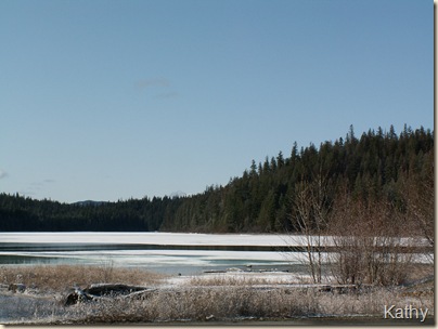
This was also the first time we’d witness the ice coming off of a lake as we took this picture from about half way down the lake one day….and the next day, the lake was ice free.

Kentucky Lake #1

This shot, taken on April 18, 2003 shows the extreme south end of Kentucky Lake.  The shores of this lake are forested but there is a walking trail the whole way around the lake.  There is often snow at this end of the trail well into May….depending on the type of winter of course.

This is probably enough for this posting….I’ll do some more next time.

Tuesday, January 26, 2010

Spur of the moment drive continued…

The town of Merritt is located in a large valley and is the hub where a number of major highways meet and is also,therefore, right in the center of a number of our favourite places to visit.  The Coquilla highway (highway 5) enters the town from the south, and continues right through, exiting to the north as it heads for Kamloops – we can get to Tunkwa that way.  Highway 97 C, also known as the Coquilla Connector, heads off to the east to the Okanagan, we can access the Kane Valley and also Kentucky Allyene Provincial Park that way.  Highway 5A is known as the ‘old highway’ to Kamloops….and today we would head out that way for a short distance….
January Drive 012

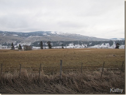
Merritt is cattle country….here we’re looking off towards the east…
January Drive 013

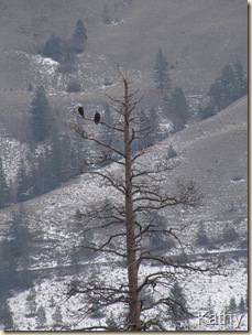
I zoomed in on this pair of Bald Eagles perched in one of the trees….you can see how sparse the snow is, although this isn’t that unusual for this area.
January Drive 014

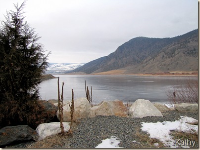
Our destination today was this rest area on Nicola Lake.  This is a huge lake, what is showing is only the most western portion, and the head of the Nicola River.  We were actually surprised, given the mild winter, to see that the lake, at least this part of it, was completely frozen over….
January Drive 018

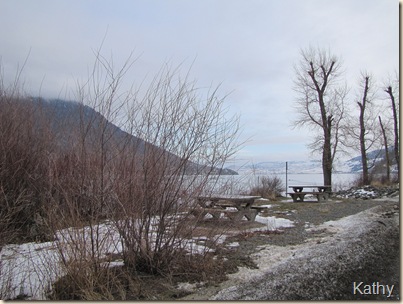
this view is looking off towards the north east and shows more of the lake, also that elusive blue sky that we never did actually get to!
January Drive 025

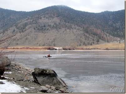
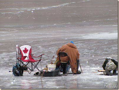
You can’t get much more ‘Canadian’ than this…..
January Drive 029

thanks to a very friendly little boy….we learned that this was ‘Aunty’ out there ice fishing and they had caught 3 fish so far…..the temperature was sitting at 0 degrees…
January Drive 027

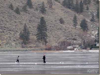
2 more brothers were out there, with hockey sticks and chunks of ice for pucks….
January Drive 028

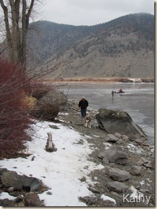
Here are Ernie and Shantz coming along the shoreline after admiring the fish.  Ernie tried to go out on the ice, but he said it was just too slippery for his runners – remember our winter boots hadn’t made the trip!
January Drive 031

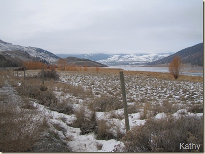
Heading back now, towards Merritt where lunch awaited….you can see this is bunch grass and sage bush country….there were actually about a dozen Trumpeter Swans at the far end of the lake where there was some open water…but too far off for a decent picture…
January Drive 038

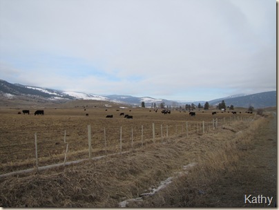
but just to prove that this is indeed cattle country, we stopped to take this picture, looking back the way we had just come.

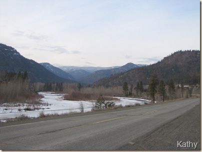
The quickest route to return home would be to retrace our route and go back via the Coquilla, but that wouldn’t be us, so after lunch we headed out the road that follows the Nicola River, from Merritt to Spence's Bridge on the Thompson River…..
January Drive 040

our destination would be through those mountains.  At this portion of the route, while we were still fairly high up, you can see there is a fair amount of ice along the Nicola River, although virtually nothing in the way of snow….
January Drive 041

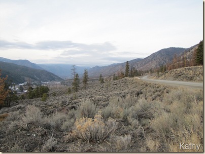
this route is through very arid country, in a couple of months the hillsides will be covered in flowering Balsam Root….this trip we had to settle for sage brush..
January Drive 045

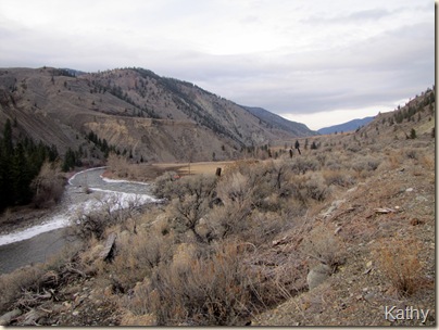
the ice along the river is disappearing as we drop in elevation…
January Drive 052

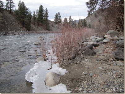
and when we stopped at one of the informal camping spots along the route, there was virtually none…
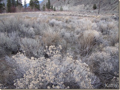
January Drive 053

and if you need proof that this is normally a very hot dry location…
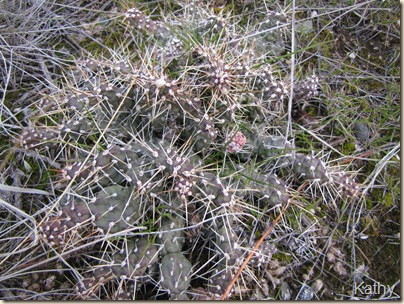
January Drive 056

this picture of one of the many Prickly Pear Cactus growing amongst the sage should do it.  Notice though the fresh shoots of grass….that shouldn’t be happening until about March….
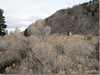
January Drive 057

we’ll take this one last shot of this area….the day is moving on and the light is failing but we aren’t far from the town of Spences Bridge…
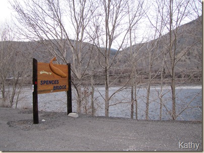
January Drive 059

In fact, here we are.  That is the Thompson River there, with no ice, no snow, in sight….
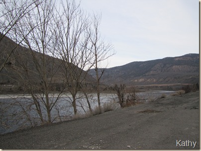
January Drive 058

we looked back up in the direction of Cache Creek and you can see for yourself….no snow…
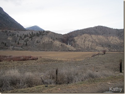
January Drive 061

Just before the road we were on joined highway 1 we stopped to take this shot…there is a waterfall off in the distance…
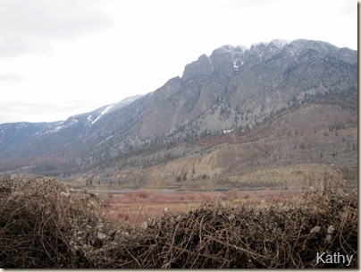
January Drive 063

and this one….by now it is really way too dark for pictures so packed the camera away as we pulled onto Highway 1, heading towards the Fraser Canyon and eventually, home.
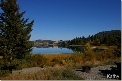
Monday, January 25, 2010

Spur of the moment trip…..

Yesterday, was a sort of dull gray day around here with nothing really on the agenda.  We decided to take the truck that has been sitting parked for the last few months, for a bit of a run having just had it serviced in preparation for the spring and RVing season (at least for us), arriving.  Our intention was to drive over to Chilliwack, but as we were heading towards Agassiz and noticed a bit of blue sky in the east, Ernie said “We could drive that way and try and find the sun”…to which I responded “mmmm”  He then said “We could drive to Merritt for lunch…” to which I said “that would give the truck a good long run….” and so it was decided. 

Now these sort of D-R-I-V-E-S aren’t unusual for us in the winter, by this time in January our feet our getting itchy, but normally we make the decision before we get in the vehicle and start out.  For example, I would have thrown our winter boots in the truck, and taken along some dog food – just in case – even thrown our emergency packs in, after all this is B.C. and is supposed to be winter! and I would have taken the GPS…not because we need it, our vehicles have driven to Merritt so often they could do it on their own, but when you have the toys you might as well play with them….we had none of these….I did have a camera because I never go anywhere without one, but that was about it….

January Drive 005

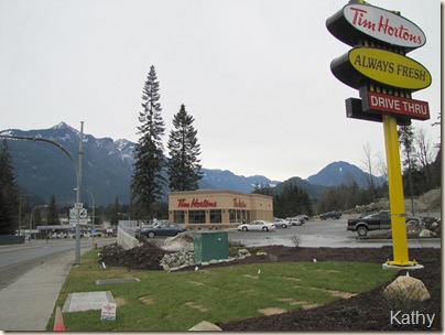
First stop was this lovely new Tim Horton’s which has recently opened in Hope (we even have it programmed into the GPS that was sitting at home in the cupboard)…needing a coffee ‘for the road’ – Note the lack of snow…this will be a recurring theme – it is January 24th – it is supposed to be the middle of winter….

January Drive 008

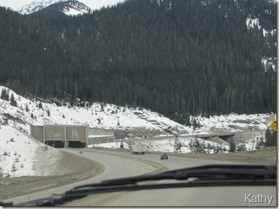
this is the snow shed hill on the Coquilla Highway.  The Coquilla climbs constantly from Hope, the ‘snow shed’ is to stop snow from sliding down and covering the highway…no worries this year! and also starts the very steepest part of the ascent….when we had the Dodge 1500 and the trailer, this was the section I always held my breath as we were in ‘I think I can, I think I can,’ mode.  We always made it but…

January Drive 009

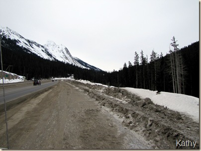
Here is the road as it looked yesterday.. we’re pulled off to the side…don’t want to give the wrong impression….the road is paved…this is just the shoulder.

January Drive 010

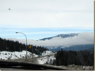
and here we are, just past the summit….notice…no snow!  Normally there would be snow banks higher than your vehicle along here…and there is that elusive blue sky off in the distance.

January Drive 011

This is one of the parking lots at the Britton Creek Rest Area, the larger parking lot at the rear was so full of pickups with trailers and snowmobiles that there was no where to park!  This has always been a spot where snowmobilers play in the winter, and I guess, the fact that there is so little snow this year had them all concentrated in the few areas where there is some.  There were even a bunch of army cadets, or maybe army (who knows with all the Olympics security that is happening)…who ever they were, they were having lunch and the Gray Jays were helping them.

Since this is as far as I’ve managed to get on this today….I’ll post it and continue on tomorrow…